

The Mountain
150 Years of Sugaring

Home to all our trees, Mount Cabot stands just north of the Presidential Range in the White Mountains of New Hampshire.
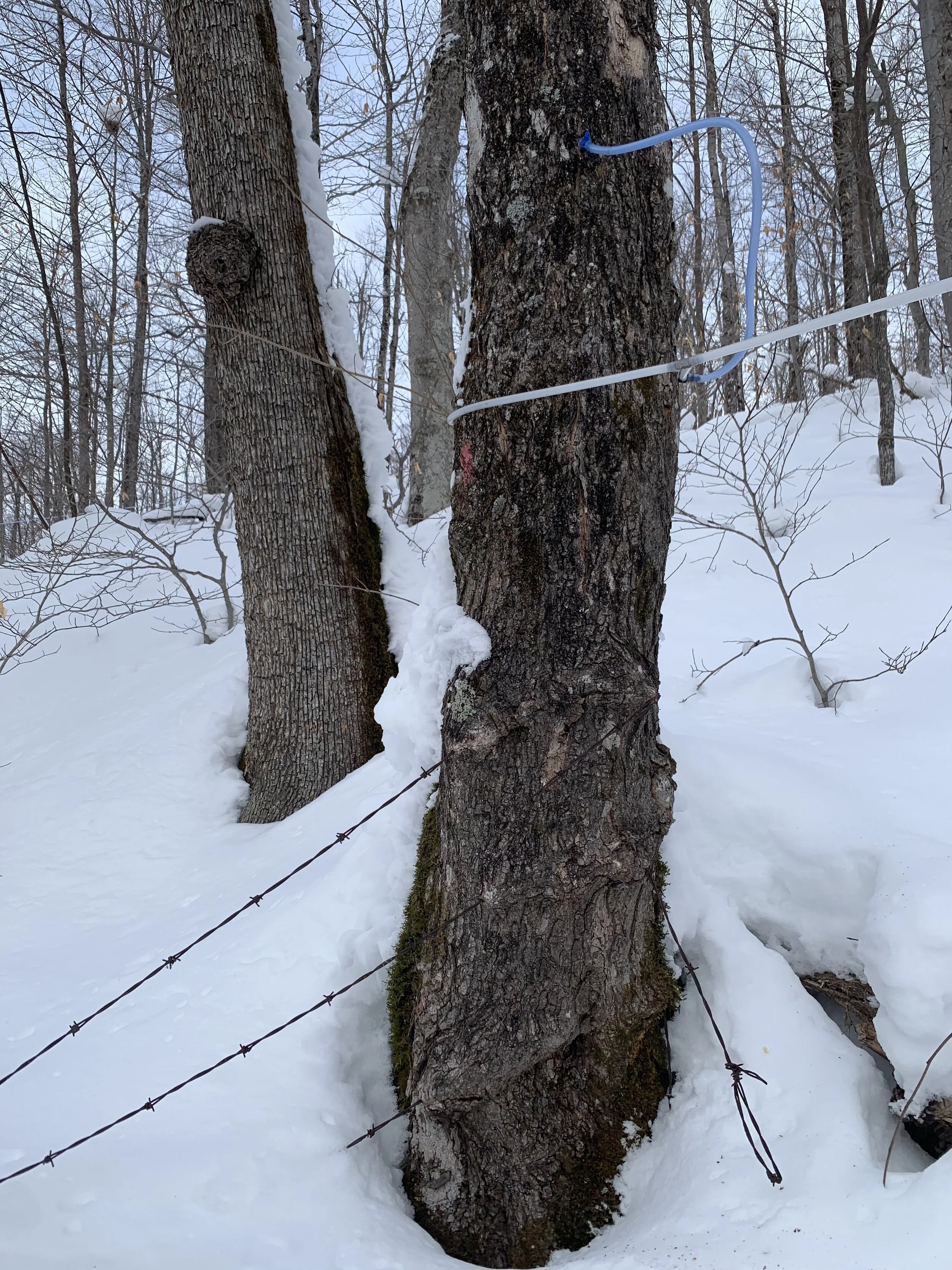
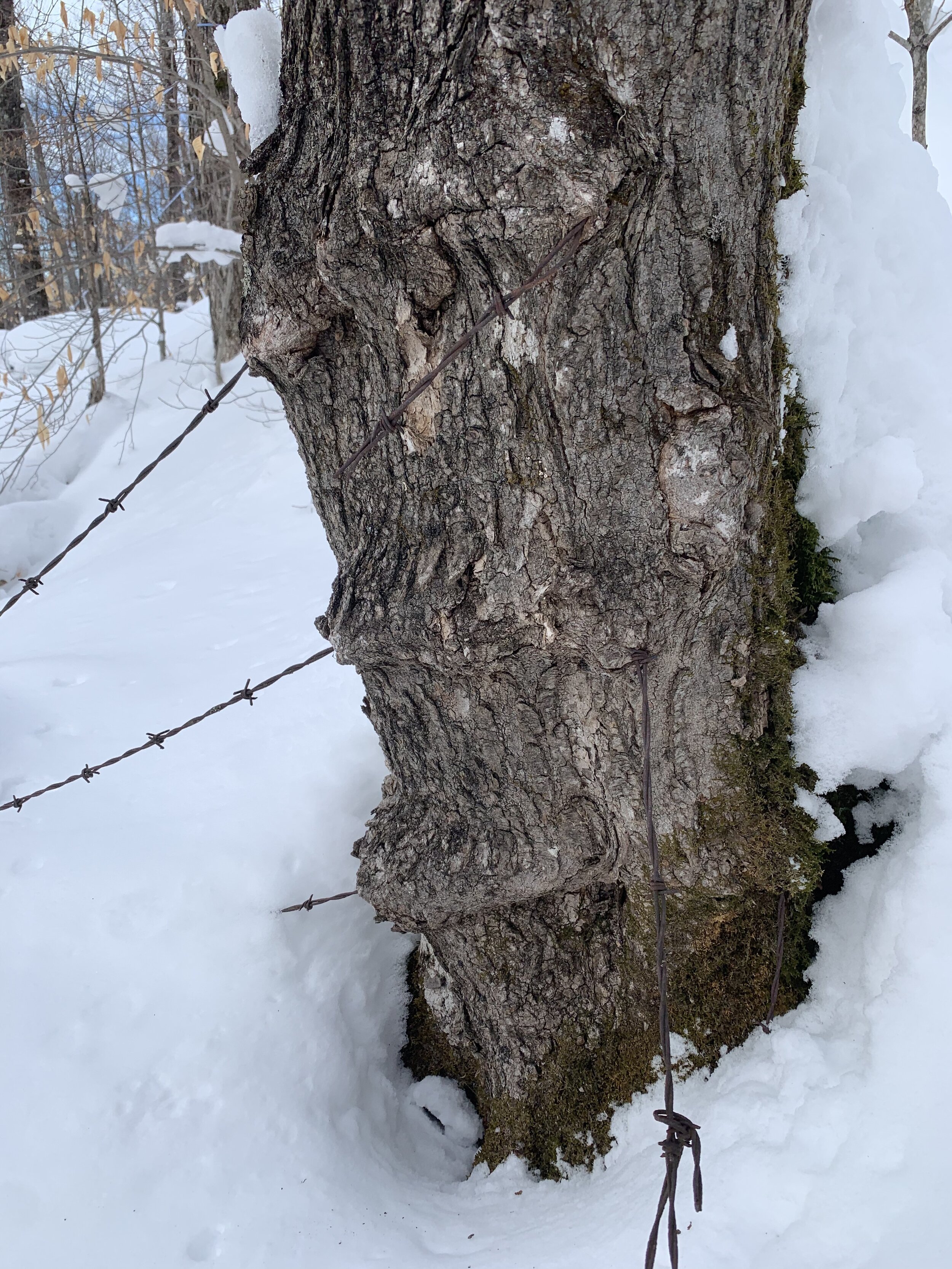
Our woods have a long history of making superb maple syrup; town records show that these maples have been visited for their sugar since at least 1860, and at least 5 saphouse sites have been found within our bounds.
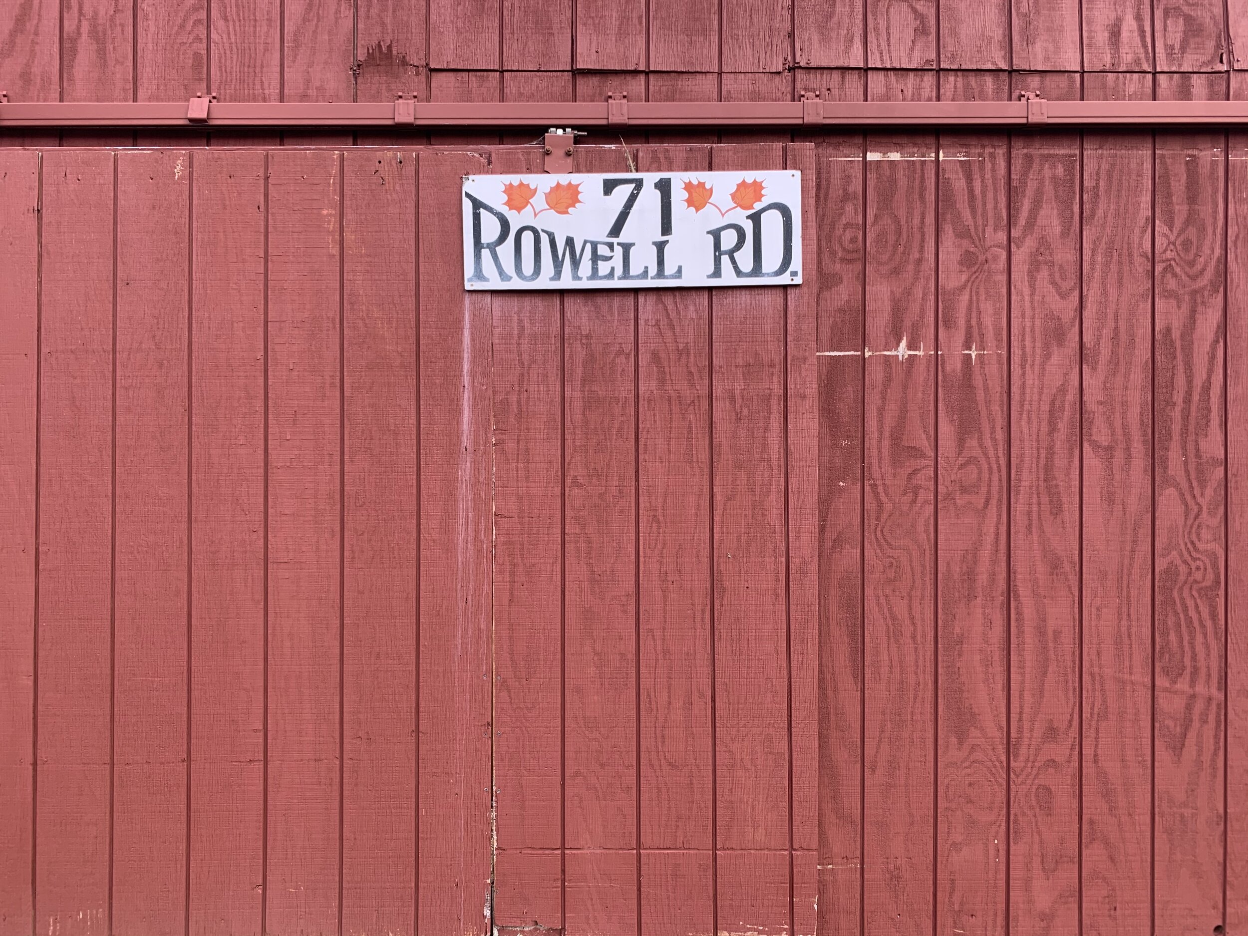
The start of sugaring on this side of Mount Cabot was heralded by the Rowell Family, and our address appears with their name to this day. The Rowells built a small farmhouse on the lower fields and a saphouse high among the maples. The ruins of their saphouse sit in the longest tapped part of our forest, near some of the largest trees on the property. The Rowells tapped each tree with a spial and hung a bucket, walking through the bush with a yoke to collect every bucket and carry it to the fire, where it was boiled down into syrup. Forgotten evaporator pans and stacks of sap buckets still sit by the once central structure.
Local lore has it that during the Rowells’ time, another family of sugarmakers lived just over the ridge. The Aldens were no less skillful sugarmakers than the Rowells, but could taste for themselves the difference two miles of soil made in the quality of syrup. Every spring they would sell off what they’d made and come to Mount Cabot to buy their personal supply.


Where Plates Meet
Middle Permian, 260 Ma
© 2013 Colorado Plateau Geosystems Inc

Early Jurassic – 195 Ma
North of the White Mountains’ iconic Presidential Range sits the Pilot Range, of which Mount Cabot is the tallest, standing at 4,160 ft. Receding glaciers from the Laurentide Ice Sheet (the last major ice sheet of the Pleistocene Epoch) delivered vast quantities of rubble to the area ~10,000 years ago, and its gradual disintegration adds fertility to the soil.
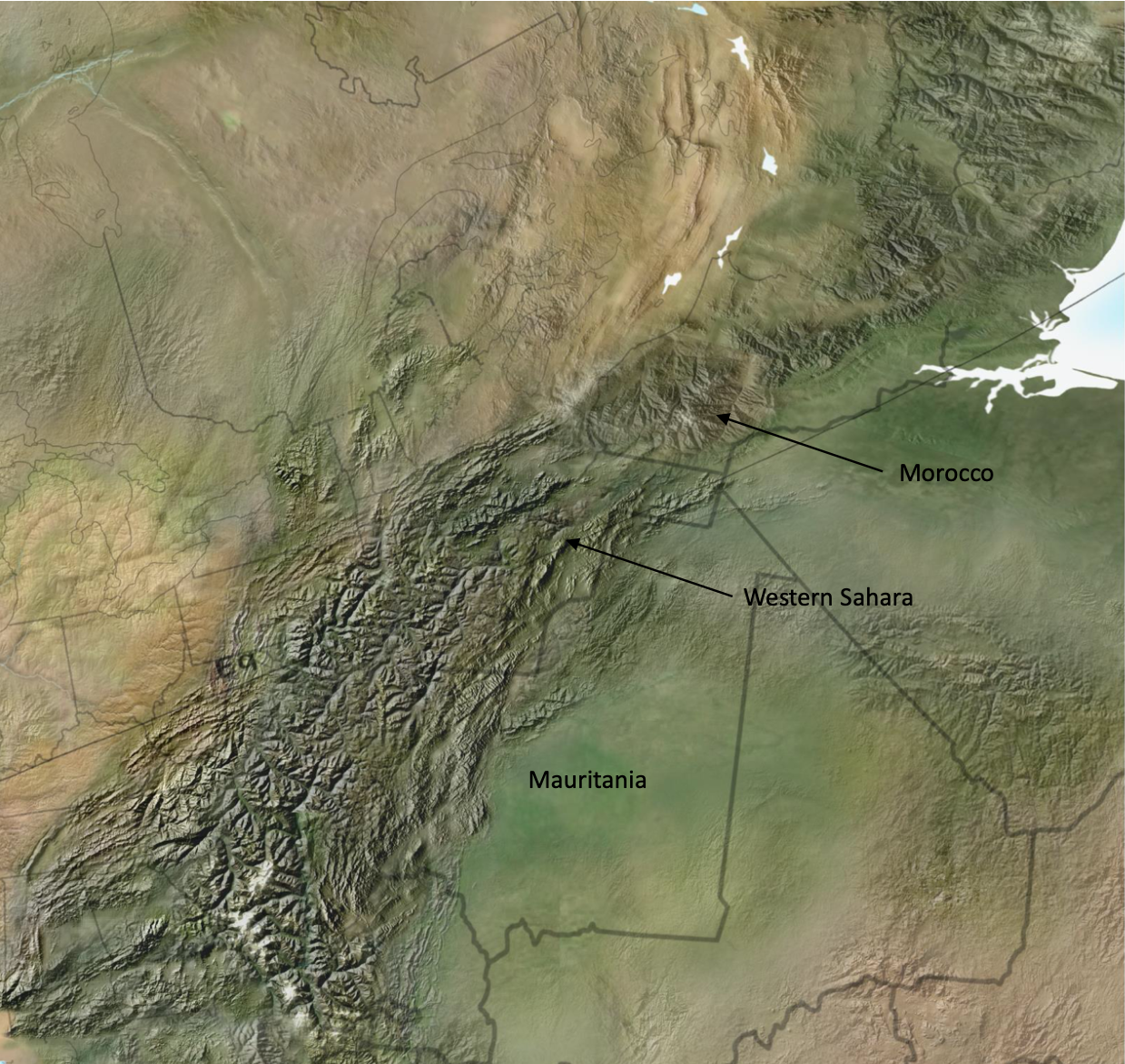
Below the slope’s stony exterior, a key geological feature influences our belt of dominant sugar maples (2,000 - 3,000 ft). The rock formations of the lower valley formed in the Late Ordovician Period, ~450 million years ago, at the beginning of a continental collision process that culminated with what is now Morocco located just off the coast of Maine. Through chemical analyses and radiometric dating, geologists have found 500 million year old rocks in nearby Garland Brook for which the only known similar rocks are found in Morocco today¶. The continents then began to break apart during the Jurassic Period, ~200-150 million years ago. Breakup-related magma intruded the older rocks of the lower valley and created the formations that make up the higher elevations of the Pilot Range†.
The two formations meet at the base of Mount Cabot, where waters from deep below the surface burst forth at the seam as abundant artisanal springs, flushing out minerals and nutrients that nourish the Rich Mesic Forest found in our sugarbush.
†Eusden, J. D., Hillenbrand, I., Baker, S., and Cargill, J., 2017, Bedrock Geologic Map of the Jefferson, New Hampshire 7.5' Quadrangle, NH: New Hampshire Geological Survey, Open File Report, Department of Environmental Services, 29 Hazen Drive, Concord, New Hampshire 03302-0095.
¶Summa, L. L., Rice University, personal communication
On Abenaki Land

Cohoss, or Cowas, was an Abenaki word known to european settlers of Northern New England from the beginning of colonization, signifying the desirable lands along the Connecticut (from the Mohegan-Pequot “quinnitukqut”, or “long tidal river”) river valley. From this Algonquin lineage, New Hampshire’s northernmost Coös county received its name. The Ko’asek Traditional Band of the Abenaki Sovereign Nation, united in the Wabanaki Confederacy, has lived in the region for many generations, and remains dedicated to cultural and spiritual longevity, self-determination, and land rematriation. Maple Sugaring is an original innovation of Indigenous People. As we make sugar on unceded Abenaki territory, we owe a debt of gratitude to the first sugarmakers, and a debt of solidarity, support, and action to their descendants. We strongly encourage our community to donate to the forthcoming Ko’asek tribal life center in Claremont, NH.
Forest of Many Faces

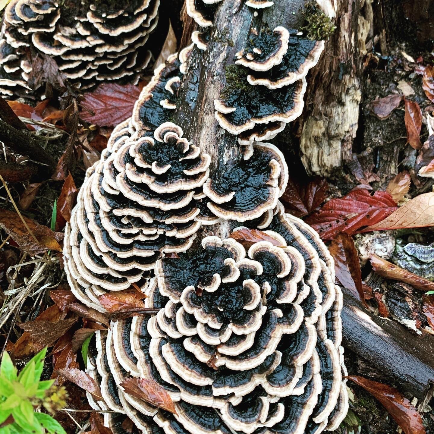
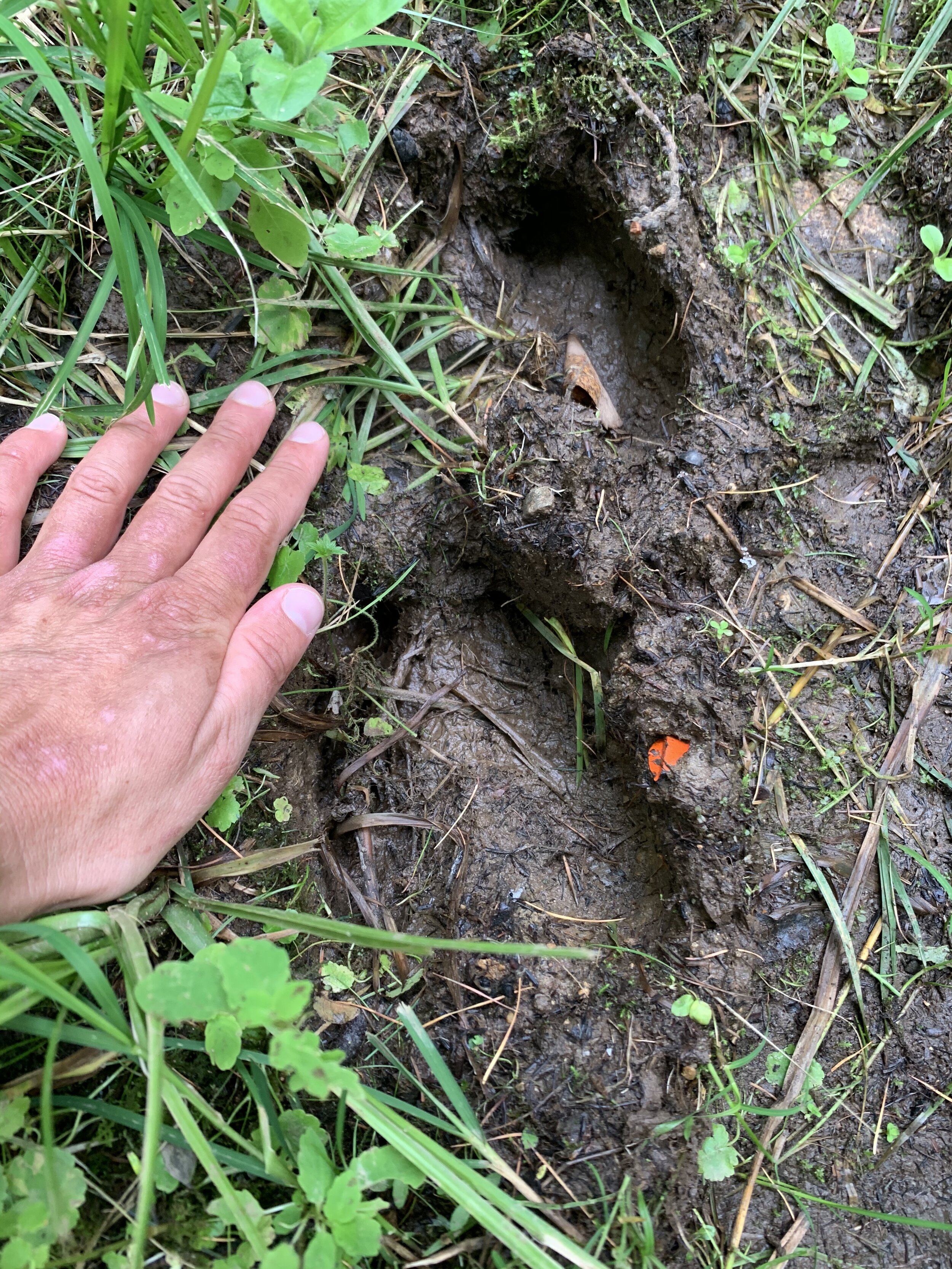
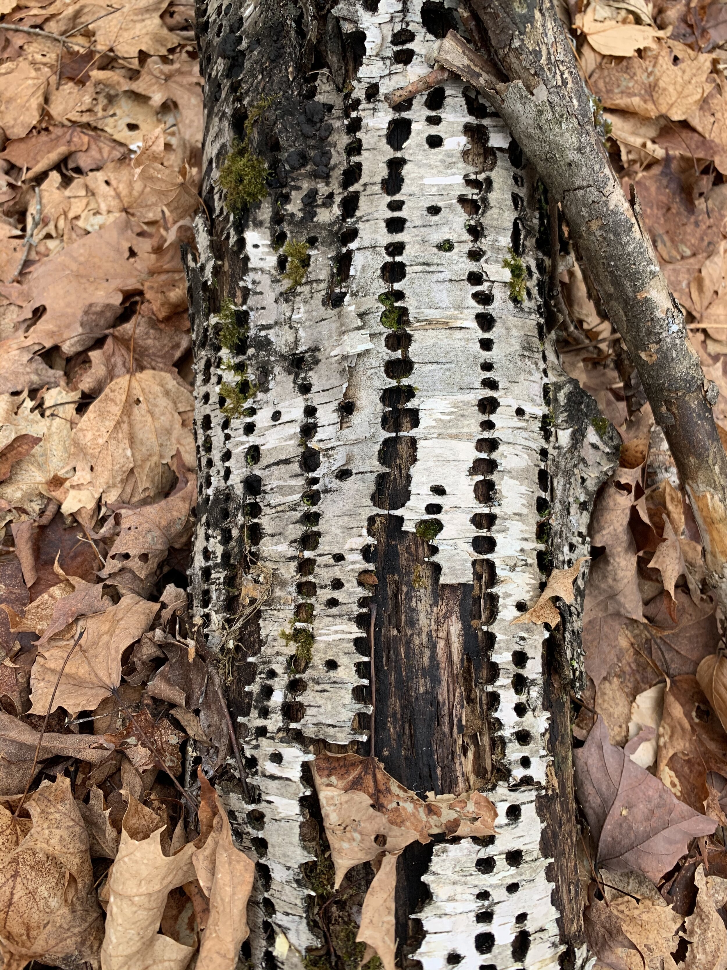
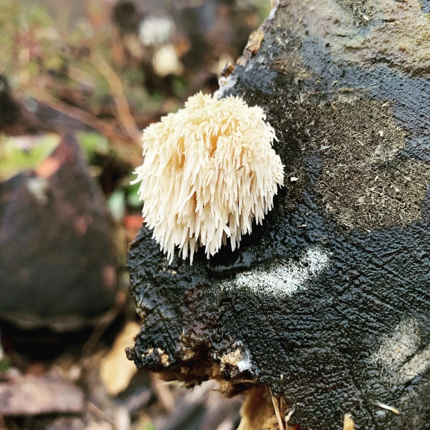
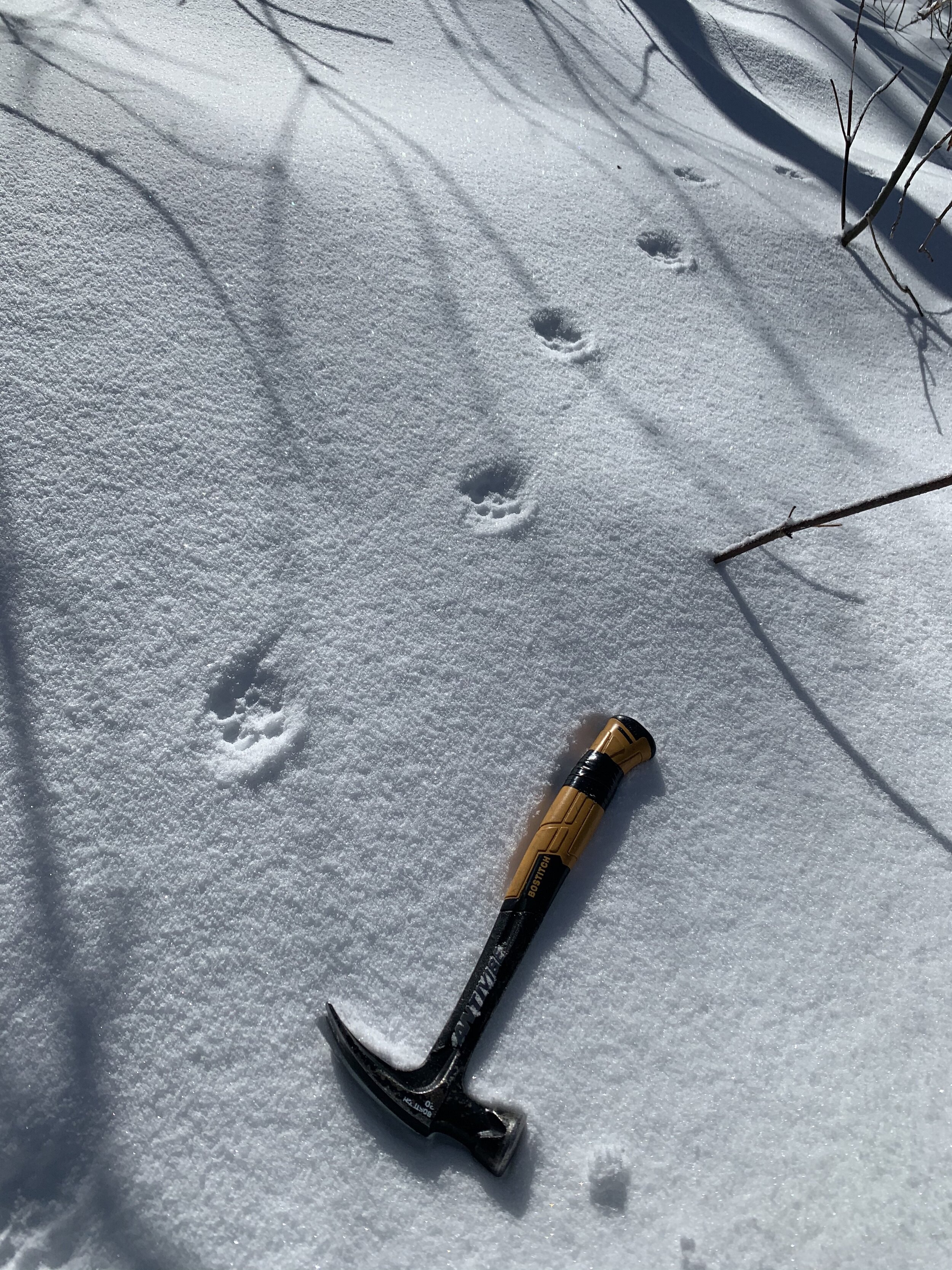
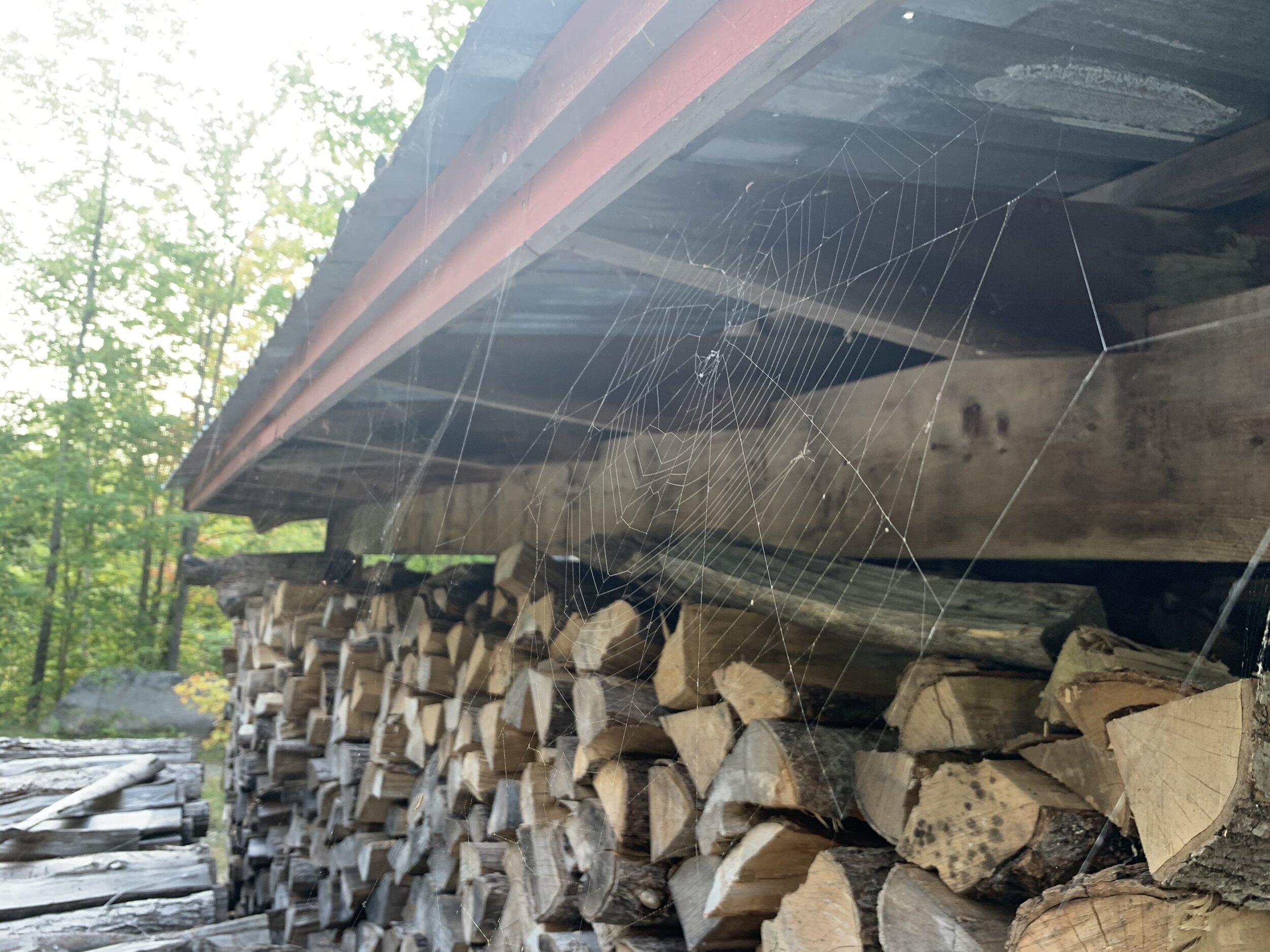
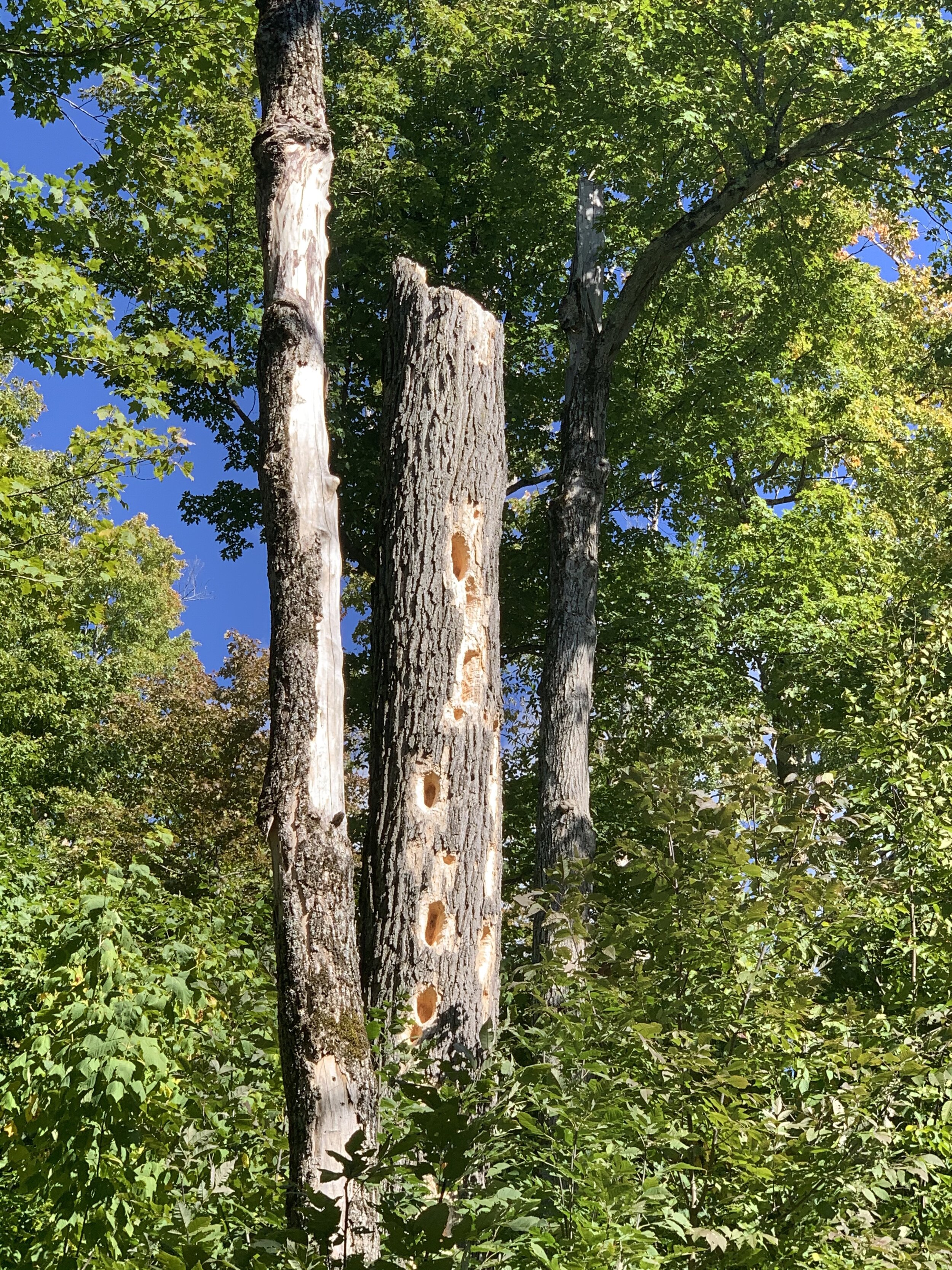
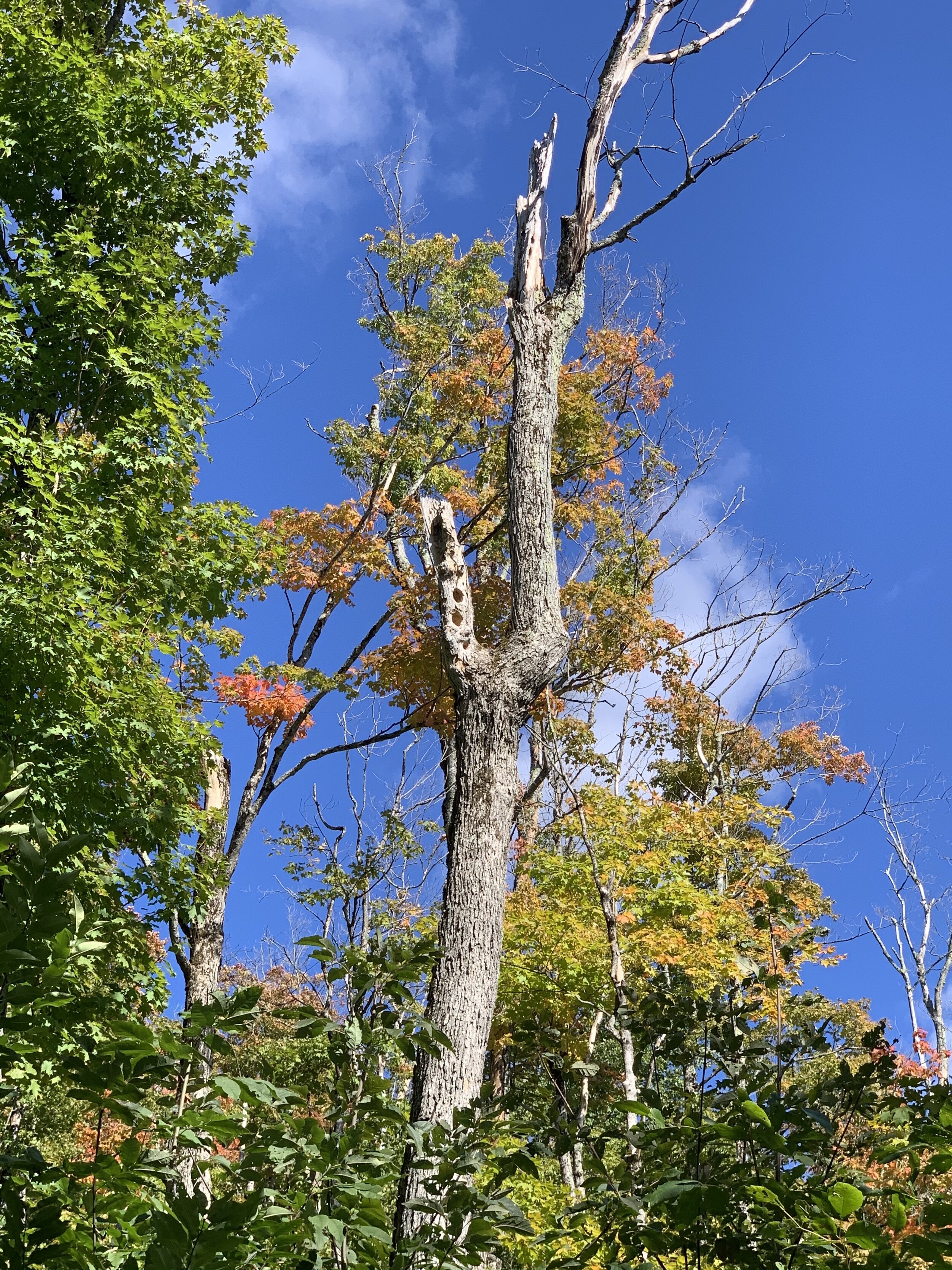
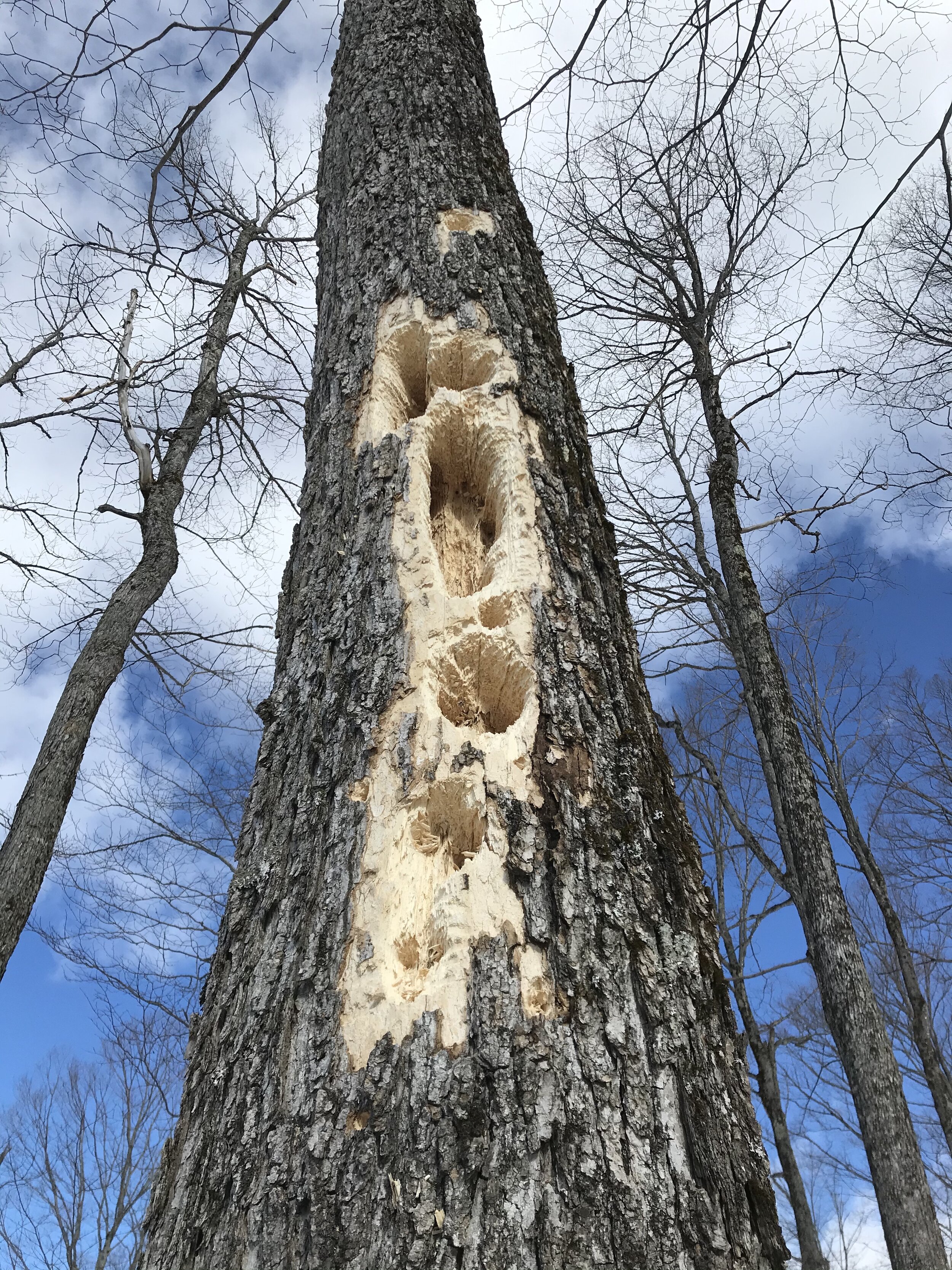
Walk a day on our land and you’ll follow wild game trails through thick pine, spruce, and fir forests, with creeks winding past moss gardens, burrowed homes between roots, and stacks of thriving fungi. Trek higher through the bounty of beech, birch, and basswood that compliment the dominant Sugar Maples (also called “hard” or “rock” maples). This forest is home to hardy moose and loquacious coyote, limber white tail deer and at least one three-legged fox. Pileated Woodpeckers hammer at trunks throughout the day, hard at work constructing high-rise apartments in skeletal snags. At dusk in autumn, a sleepy Turkey might topple out of the tree canopy on your walk home, boozed-up from the apples now fermenting on the orchard grass.


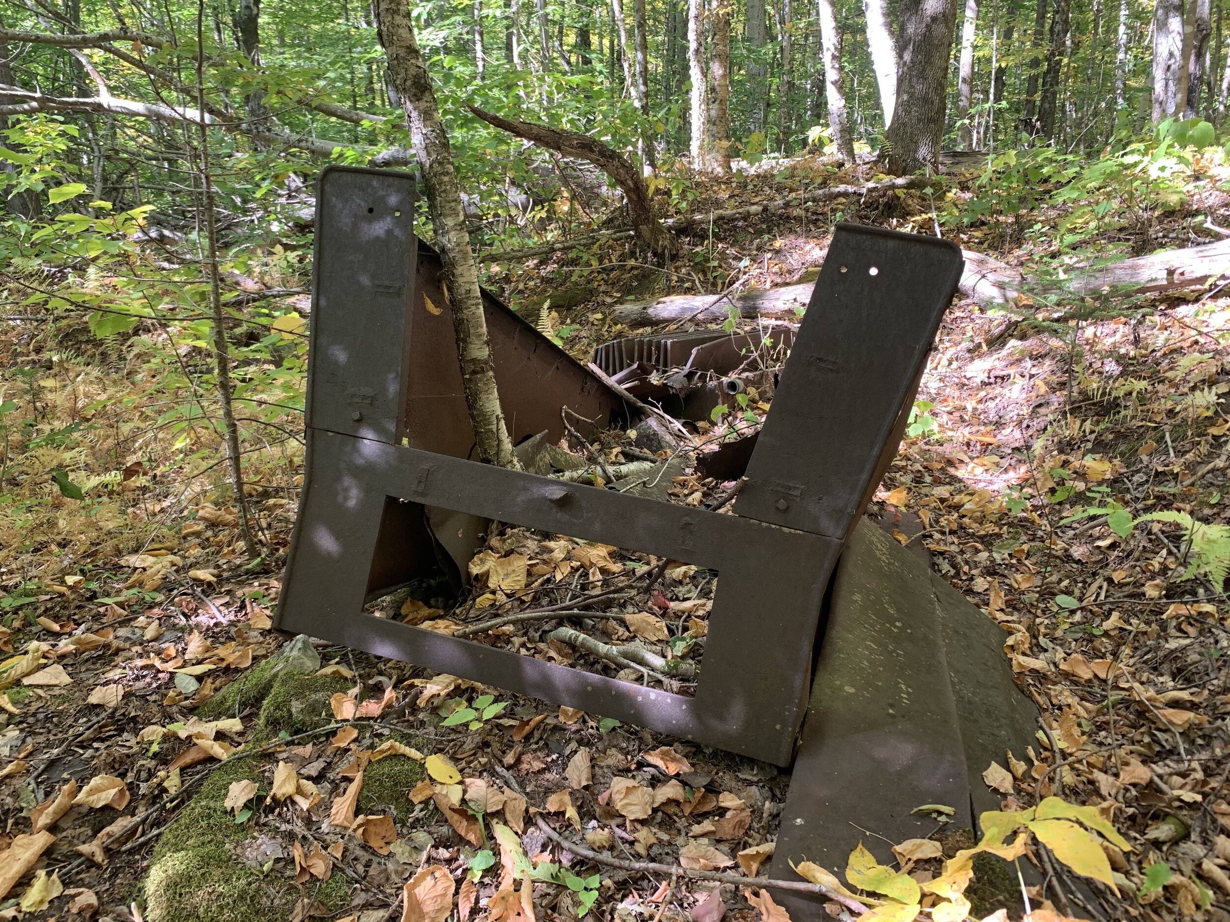
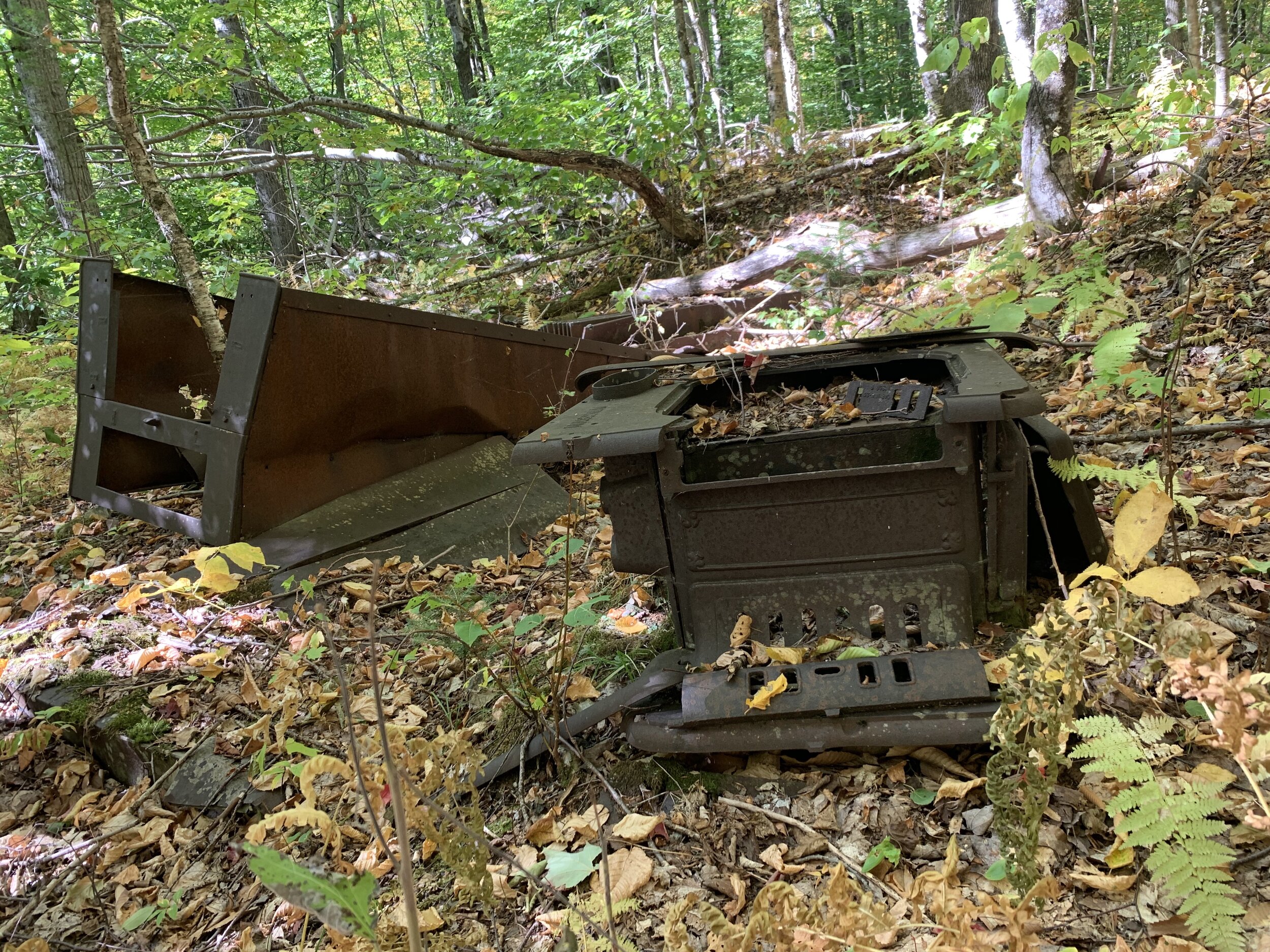
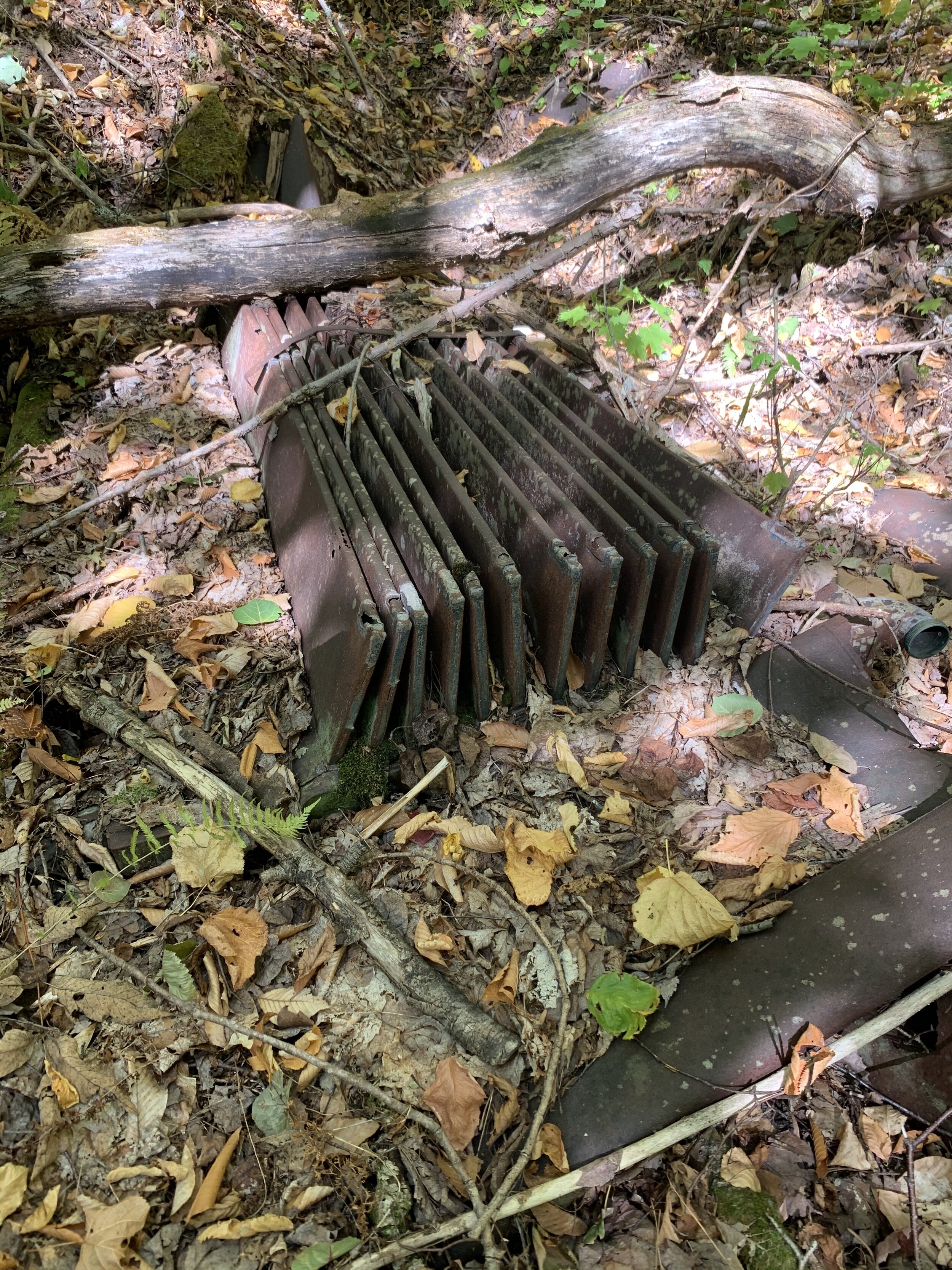
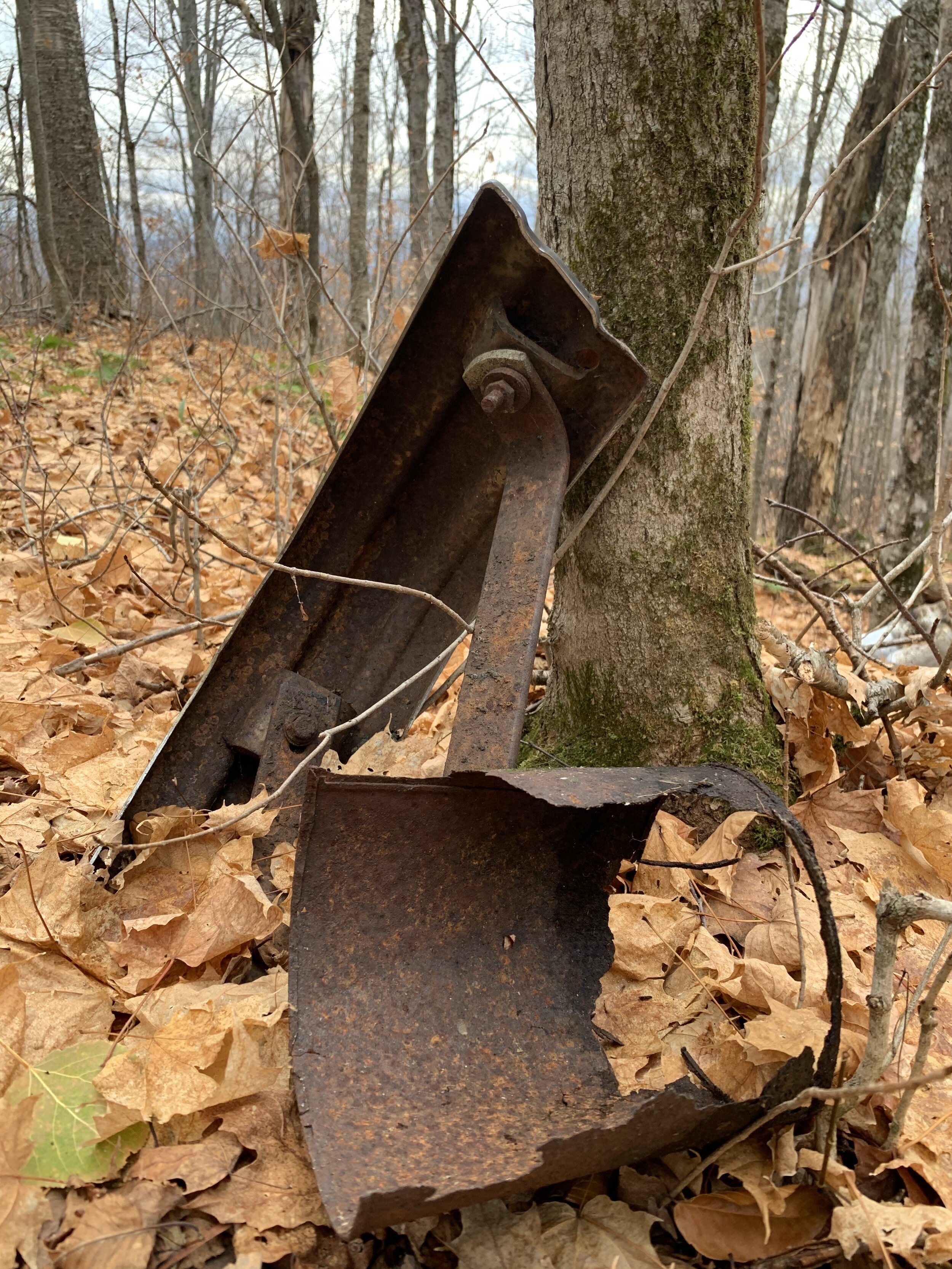
Artifacts of Extraction

Boston & Main Railroad Map (Source: Boston & Maine Historical Society Online Archive)
Abandoned logging roads are common in New England, as the northern forests were ravaged for Timbers in the 1800’s. Our land continues to recover from extraction, bearing the signs of a decimated forest still yearning to establish intergenerational structure. An artifact of these injuries is the bed of the old Kilkenny Railroad, infamous for a fatal crash, now grown over with only a few rusted axles to mark its place. The railroad was built in 1887 and hustled lumber out of the neighboring township for a decade, closing business only when there were no trees left to cut. Stripped for rails and sleepers when its charter ended, the remaining bed running across our land now belongs to the forest.


